
Where We Be
 | |  | |  | |  | |  | |  | |  |


| Seceda Ridge Hike -- Dolomites, Italy |
The Seceda (seh-CHAY-duh) ridgeline is
arguably THE most photographed and recogniz-
able image of the Dolomites in the world. The
sheer, tilted rock face is featured on numerous
websites, blogs, vlogs, books, and magazines.
You can "do Seceda" the short way by taking
two gondolas to the top, climbing a hill, and
snapping some pics -- or the long way by going
on a hike from the top along the Seceda Ridge
Trail. We think the Ridge Trail is the way to go.
It's a 5-mile hike with about 800 feet of elevation
gain and 2,000 feet of elevation loss, assuming
you hike all the way to the Col Raiser gondola at
the far end and take it down to the town of
Santa Cristina. From there you can take a short
bus ride back to Ortisei, which is what we did.
The point-to-point hike takes you across some
stunning scenery in the Puez-Odle Nature Park,
and by using gondolas at both ends, you save
yourself gobs of work. You can also stop at
several rifugios along the way if you need (or
want) a break. Rifugio Firenze near the hike's
end is especially popular. We stopped here for
lunch and found the prices surprisingly
reasonable at around €10 or €12 per entree.
arguably THE most photographed and recogniz-
able image of the Dolomites in the world. The
sheer, tilted rock face is featured on numerous
websites, blogs, vlogs, books, and magazines.
You can "do Seceda" the short way by taking
two gondolas to the top, climbing a hill, and
snapping some pics -- or the long way by going
on a hike from the top along the Seceda Ridge
Trail. We think the Ridge Trail is the way to go.
It's a 5-mile hike with about 800 feet of elevation
gain and 2,000 feet of elevation loss, assuming
you hike all the way to the Col Raiser gondola at
the far end and take it down to the town of
Santa Cristina. From there you can take a short
bus ride back to Ortisei, which is what we did.
The point-to-point hike takes you across some
stunning scenery in the Puez-Odle Nature Park,
and by using gondolas at both ends, you save
yourself gobs of work. You can also stop at
several rifugios along the way if you need (or
want) a break. Rifugio Firenze near the hike's
end is especially popular. We stopped here for
lunch and found the prices surprisingly
reasonable at around €10 or €12 per entree.
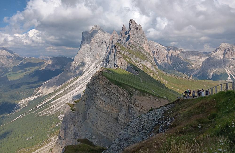
| Talk about dramatic! And you barely have to work to get this view! But since you're up here anyway, why not go for a memorable hike? |
| A short uphill climb from Rifugio Firenze brings you to Col Raiser gondola and an easy ride down to Santa Cristina. Not a bad way to spend a day! |
| The trail takes you by the unique “Pieralongia” ("rabbit ears") rock formations |
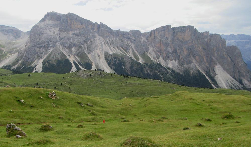
| A lone boy in a bright red jacket stands amidst stunning scenery (don't worry, his father was nearby!) |
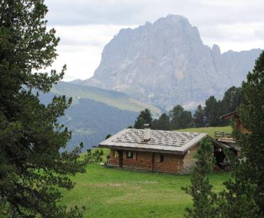
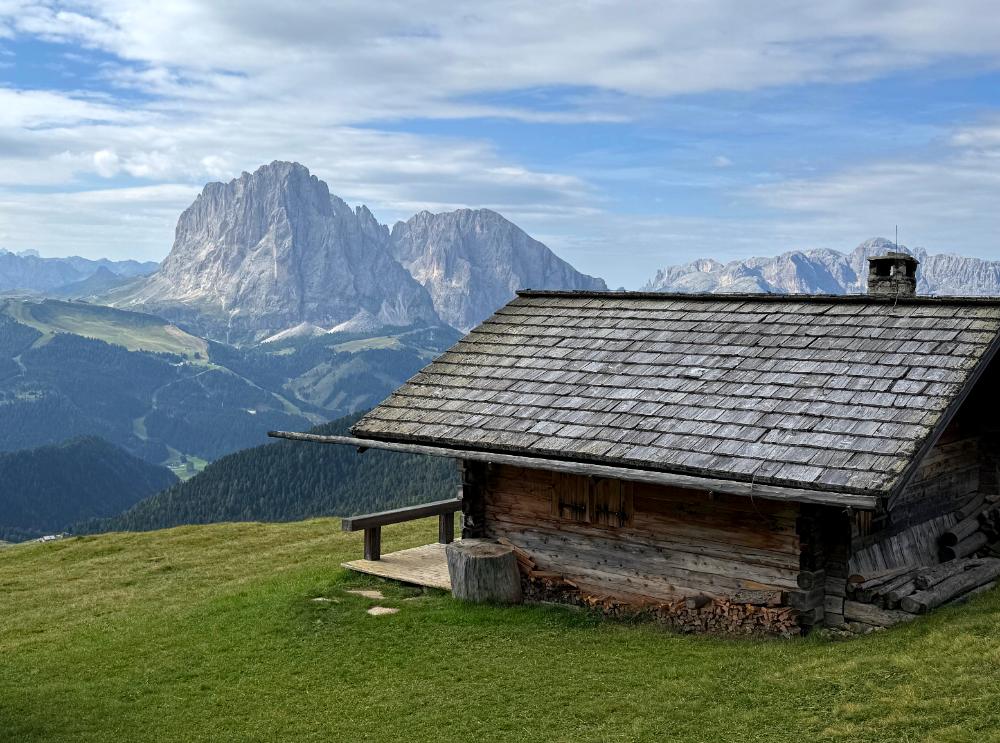
| A cozy mountain cabin sits trailside, with one heck of a killer view |
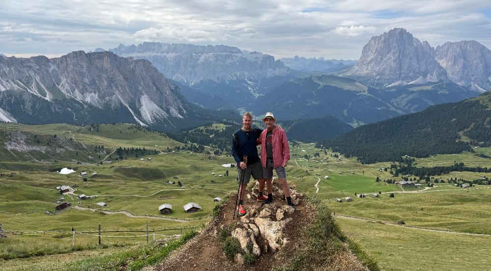
| Lots of people wait in line for this photo op, and you can see why. Our friends Alan and Troy finally get their turn. |
| See where these folks are standing? That's about as far as you have to go for excellent up-close views. |
| Let the photo ops begin! |
| Step off the second gondola and climb steeply for about fifteen minutes to get better views |
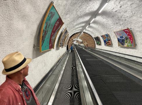
| Your journey begins with an escalator ride up to the first gondola station in Ortisei. It takes two gondolas (Ortisei-Furnes + Furnes-Seceda) to get to the summit. |
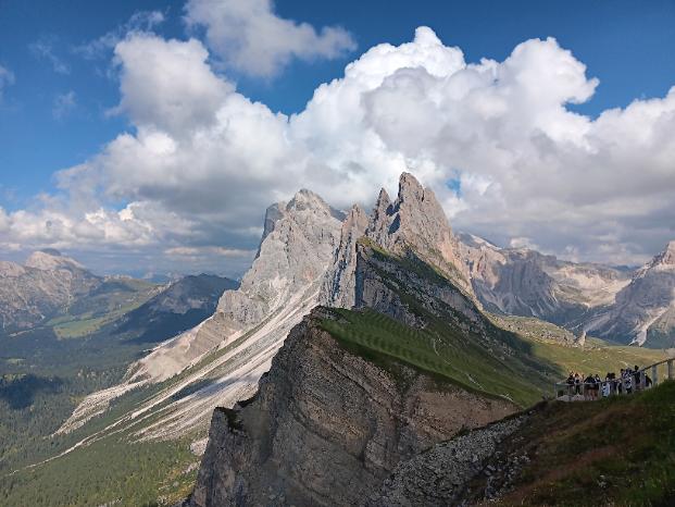
| I took the gondolas up twice to photograph Seceda in different lighting conditions. The above photos were taken on the second day (our hiking day was more overcast). |
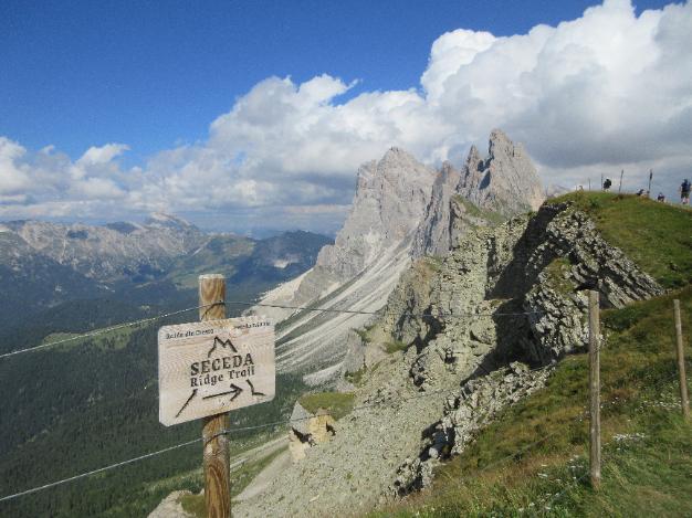
| You'll see a sign pointing you to the start of the Seceda Ridge Trail. Even if you're not doing the hike, climb a bit further for the best views. |
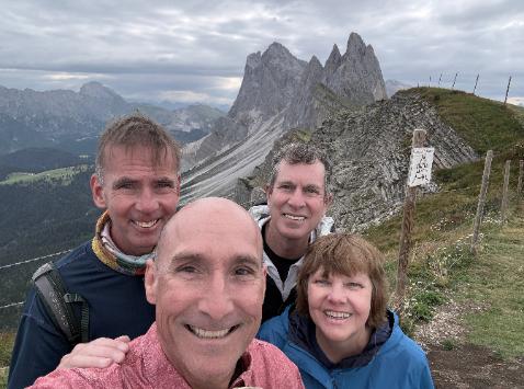
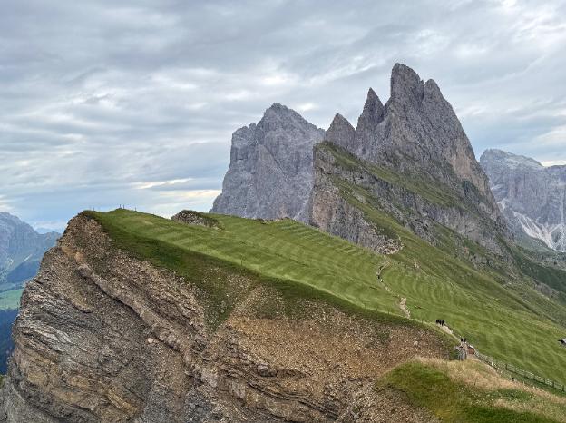
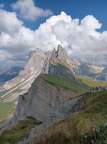
| (Note: The above photos were taken on two different days with two different cameras. All other photos are from our cloudier hiking day.) |
| Notice the mowed fields? Even above 8,200 feet they're haying! You can also see the beginning of the ridge trail crossing the field. |
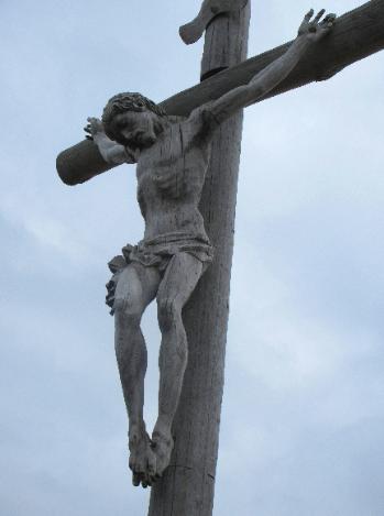
| Hand-carved wooden Summit Cross at the Seceda summit (8,264 feet) |
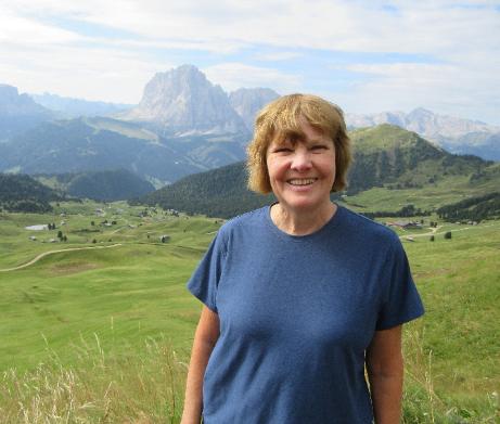
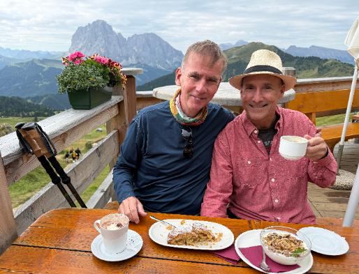
| This is what you call civilized hiking, with an early stop for hot cocoa and apple streudel at Baita Troier Hut |
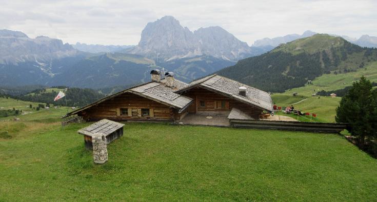
| Baita Troier Hut has a pretty sweet setting |
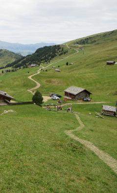
| Trail climbing up from the hut |
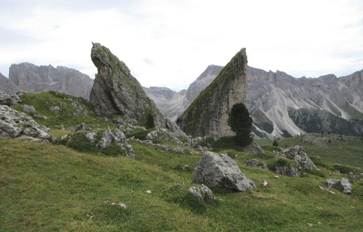
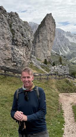
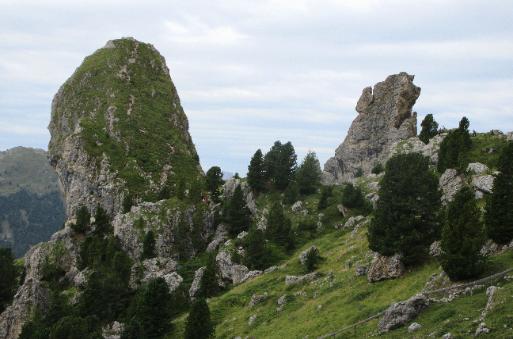
| Most of the Seceda Ridge Trail is at or above treeline |
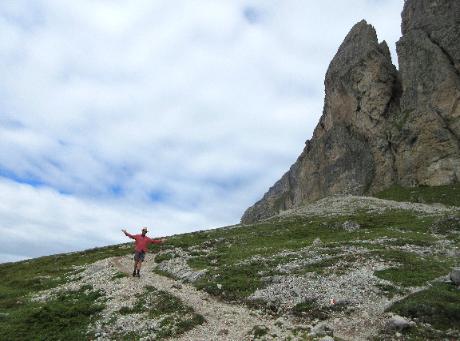
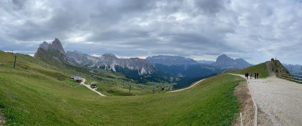
| Panoramic view from the trail |
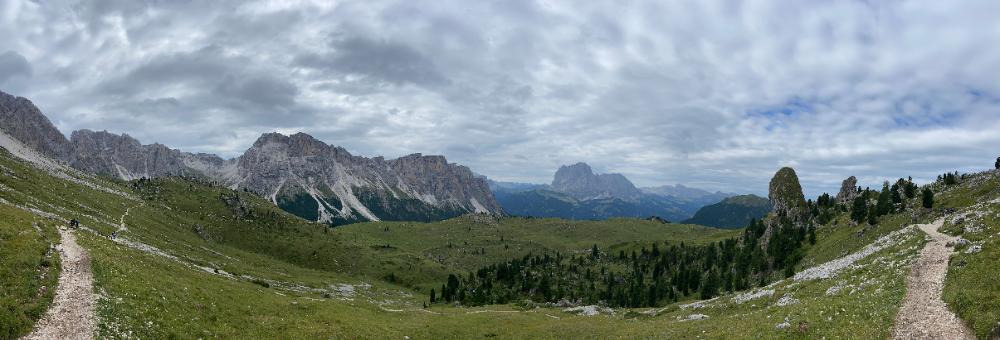
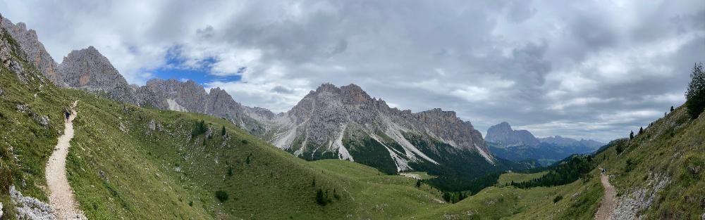
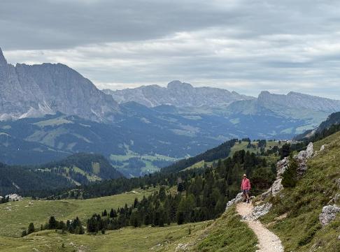
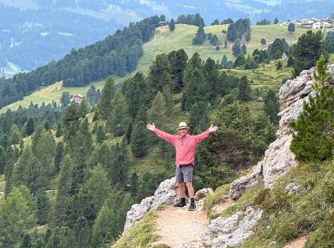
| Given the fantastic scenery, this is a fairly easy hike overall, with more downhill than uphill |
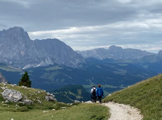
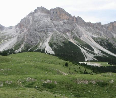
| The descent turns steeper as you leave the ridgeline and descend towards Rifugio Firenze and Col Raiser |
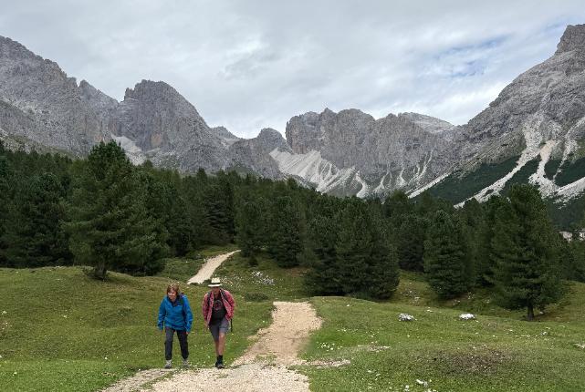
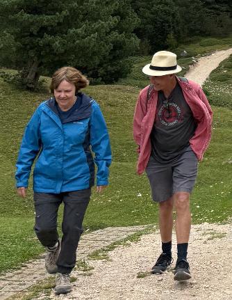
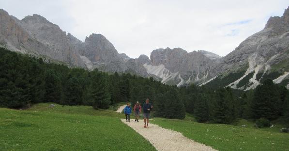
| Robin and Troy enjoy a fun chat as they walk along |
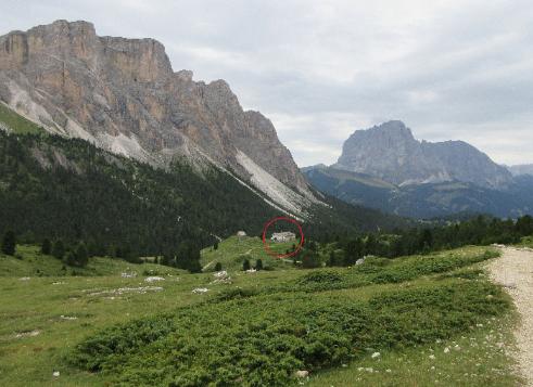
| The red circle marks the location of Rifugio Firenze |
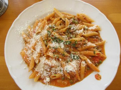
| Bring on the pasta! |